Northern Virginia data centers have been making headlines and sparking debate. One local county has made it easier to track their development.
Prince William County recently launched a countywide interactive data centers map. The map allows residents, county staff, and other stakeholders to easily track these projects at various stages of development. For example, it shows if a data center proposal is pending land-use applications or if the project is under construction. It also shows the location of completed facilities.
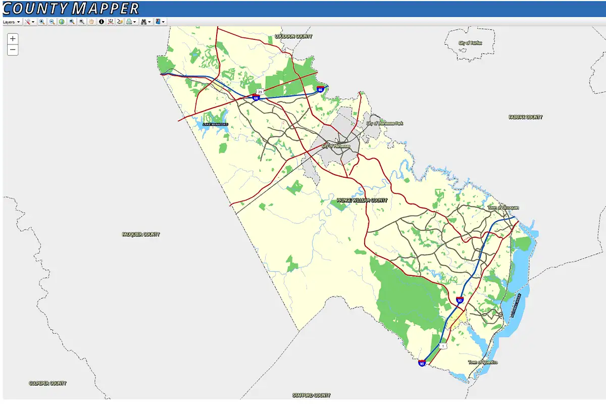
The map is available through County Mapper and the Planning Office’s Online Build-Out Analysis dashboard. Users can explore projects by turning on Data Center Buildings and Data Center Campuses map layers individually or together.
Both platforms feature pop-up windows with project-specific details. These include acreage, location, development status, planned square footage, zoning classifications, and associated zoning case numbers.
The Build-Out Analysis dashboard shows interactive data tables and includes separate tabs for campuses and buildings. Users can sort and filter projects by key details.
Prince William County’s planning director, Tanya Washington, said the new initiative is due in part to community feedback. “Community members and members of the Board of County Supervisors have expressed interest in accessing map and project information about data center development in the county,” she said. “Producing the map and data tables required combining multiple data sources from multiple county departments to ensure we could provide a comprehensive view of data center development.”
The county says the map and data tables will be updated on an ongoing basis as projects get approved, ensuring that the public has access to the most current information available.
Feature image courtesy Prince William County